A2.L5 Remote Sensing
The lesson is divided in to 2 topics:
- Satellite imagery for SPA
- Remote sensing
DOI 10.36253/978-88-5518-044-3.17
Sequence ID: 17
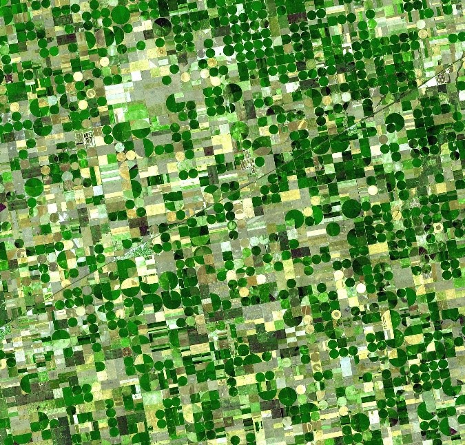
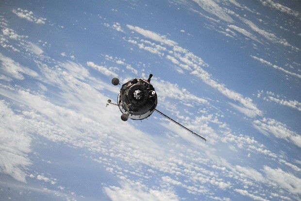 Satellite imagery is a simple and scalable
support tool for crop monitoring which allows advanced remote management of a
large number of hectares. It offers to agricultural technicians’ free
information a reasonable resolution. We will analyze advantages and
disadvantages as well as the main application and sources of satellite images.
Satellite imagery is a simple and scalable
support tool for crop monitoring which allows advanced remote management of a
large number of hectares. It offers to agricultural technicians’ free
information a reasonable resolution. We will analyze advantages and
disadvantages as well as the main application and sources of satellite images.
DOI 10.36253/978-88-5518-044-3.18
Sequence ID: 18
 Unmanned Aerial Vehicles (UAVs) are becoming a
common tool in Precision Agriculture. Combined with different sensors and
devices, UAVs can be capturing high geo-referenced resolution images and enable
the acquisition of real-time crop-related data. We will go through the main
typologies and characteristics of UAVs, different sensors and utilities and
other applications of UAVs in agriculture.
Unmanned Aerial Vehicles (UAVs) are becoming a
common tool in Precision Agriculture. Combined with different sensors and
devices, UAVs can be capturing high geo-referenced resolution images and enable
the acquisition of real-time crop-related data. We will go through the main
typologies and characteristics of UAVs, different sensors and utilities and
other applications of UAVs in agriculture.