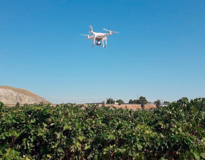
Unmanned Aerial Vehicles, or UAVs or drones in short, are often portrayed as the technology of future. A future where autonomous flying objects take care of all the necessary tasks is intriguing and almost part of science fiction. Nevertheless, there are still many cases in which drones are not yet viable options, such as when heavy tools are needed or when large amounts of products need to be applied. In this article, though, we are going to look at one of the feasible aspects and interesting applications for drones: mapping.
When mapping the agricultural environment, the aim is to collect invaluable information for better decision making, thereby reducing the costs of the application. In the case of fertilizing, site specific application is said to potentially reduce the dosage with up to 80% in comparison with conventional application. This means that fertilizer is only given to the plants that need it. One proposed way to select the plants in need would be to compare their volumes, and give fertilizer to the smaller ones.
Mapping plant volumes can be done in several different ways, but using a regular camera on a drone is one way of doing this. The technology used is called photogrammetry, and uses the effect that objects with different distances to the camera move at different speed to determine their distance and produce a three-dimensional map of the environment. Using this technology is relatively cheap because it uses simple sensors, especially when comparing to other depth sensing techniques like LiDAR or Kinect sensors. Moreover, a good camera is not too heavy and can therefore be suspended from a drone.
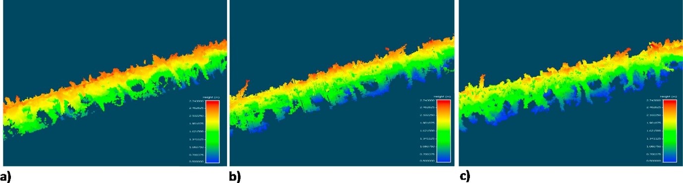
Figure 1. Point clouds created by different systems: (a) LiDAR-based system; (b) RGB-D Microsoft Kinect® v2-based system; (c) UAV-based system.
When comparing the results from the drone with other conventional methods, we can conclude that although the level of detail is better when using on-ground systems, the cost of acquisition is also always higher. The drone therefore is a more cost-effective system, and results in positive net returns.
Table 1. Modelled volumes and estimated savings according to Eq. (3) for the studied systems.
| LiDAR-based | Kinect-based | UAV-based | |
| Volume (m3) | 5025 | 4783 | 4107 |
| Mapping cost (€ ha−1) | 73.12 | 67.80 | 32.90 |
| Savings (€ ha−1) | -61.2 | -48.7 | 6.1 |
Andújar D, Moreno H, Bengochea-Guevara JM, et al (2019) Aerial imagery or on-ground detection? An economic analysis for vineyard crops. Comput Electron Agric 157:351–358. https://doi.org/10.1016/j.compag.2019.01.007