After 4 years collecting a lot of information from the field, a strategy was needed to organize, analyze and correlate all these data in a systematic and georeferenced way, which was and at the same time simple and easy to manage.
In 2018 we created an Excel file, which serves as the basis for all data collection. Why Excel? Because all farmers save their data in Excel files, because it was the most simple to transfer all the data we already had and where all the data will be placed (we know that this system has many limitations, but it was essential to simplify in this first phase).
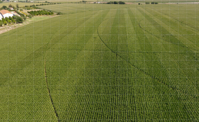
We created a georeferenced matrix associated with this Excel. The information is now treated based on a 50 m2 grid (10x5m), which became the minimum reference area which contains all the differentiated information from the grid next to it.
From 2015 all the values that we had stored in different places, were transferred to this georeferenced matrix. We have some fixed (structural) values as soil type, texture, altitude, distance from water lines, slopes, orientation, curvature, etc.
We have the annual variables that change every year; seed manufacturer, variety, sowing date, density, date of emergence, date of all phenological stages up to the end of the crop cycle, Growing Degree Days of all these phases, date of harvest, humidity at harvest, production, total watering, all factors applied and their dates such as nitrogen, phosphorus, potassium, herbicides, insecticides, soil, water and leaf analysis values. Climate data such as soil temperature, temperature, humidity, precipitation, wind speed and direction, radiation etc.
The more years of data, the better the results we will have.
We mainly want to know what differentiates these micro-zones. We want to have information on them over several years to start finding patterns and trends that will help us characterize them much more rigorously and so we can adjust the application of production factors differently.
It will be a path with many difficulties due to the extreme variability of the data found, especially the influences of climate factors, the different types of soils, the historic productivity and the characteristics of the fields.
We have started several projects with different companies and universities to begin processing this already compiled information (about 20 million data points). We have the first results coming up and we hope to soon be able to answer many questions a farmer always asks: what seed variety should I sow in this field, what is the best sowing date, what production will I have, what is the flowering date, what is the end date of the cycle, when should I harvest my crop, which herbicide is most effective, which fertilizer dose has the best price vs productivity and quality ratio.
There are many questions that we hope to find the answer with this methodology, always seeking to produce more effectively with better financial margins, with higher quality and with less impact on the environment.